
New GeoSLAM ZEB PANO
$2.500
360° Panoramic Photography
Capture and create real estate floorplans with interactive 360° panoramic photography for enhanced property surveys.
Description
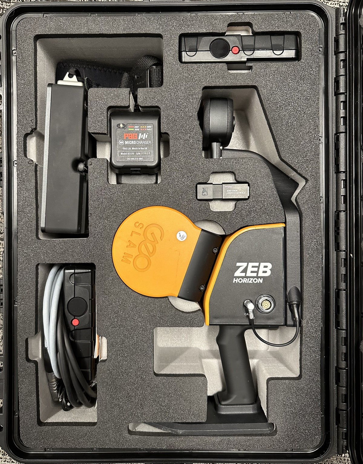
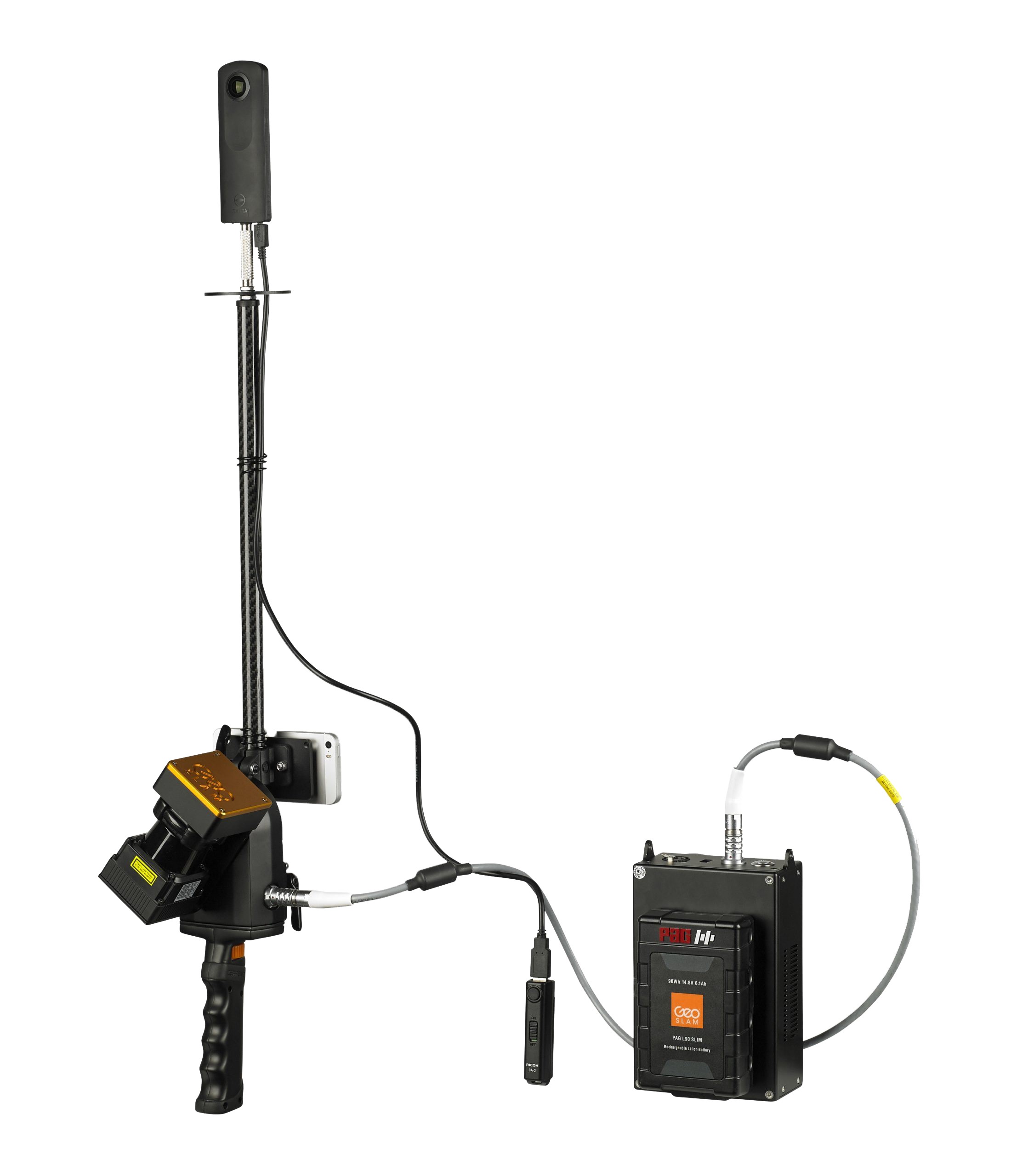
GeoSLAM ZEB PANO
Available as an accessory for ZEB Revo, ZEB REVO RT and ZEB Horizon devices, the ZEB Pano uses our leading SLAM algorithm to automatically and accurately position panoramic photos on a floorplan for an interactive viewing experience.
Already used by leading property marketing companies, the ZEB PANO is set to revolutionise the real estate surveying industry.
• Quick and easy property surveying
• No need to send separate teams to a property
• Error free data and high-resolution panoramic photography
• 360° interactive digital data
• Stop and go camera operation
What You’ll Love About GeoSLAM ZEB PANO
- More Competitive: Being able to offer rapid results to clients makes everything you do more competitive and gives you the potential to offer services to a wider degree
- Ease of Use: GeoSLAM’s scanners can be used by anyone, so you don’t need to be a seasoned expert to create accurate 3D models
- Go Anywhere: GeoSLAM can be used anywhere, from the tightest spaces to remote spots, without the need for GPS
- Speed: If you can scan faster, you can work faster, maximizing your time and allowing you to determine layouts, calculate room size and produce floor plans within minutes
- Continuous Data Collection: GeoSLAM’s scanners allow for continuous data processing, which means you can see individual measurements, including topographical details alongside key features
- Accuracy: From design, to construction and maintenance, GeoSLAM’s scanners can be used to quickly and accurately scan and collect data at each stage of a building’s development
- Create and Manage a Digital Twin: For true project collaboration, effortlessly and accurately create a digital twin of any built environment, both indoor and outdoor
Related products
-
- Sale!
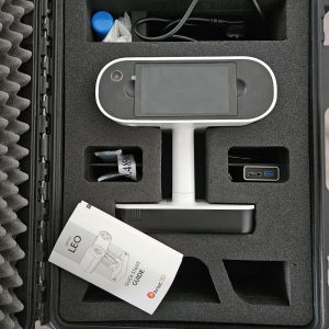
- 3D Laser Scanner
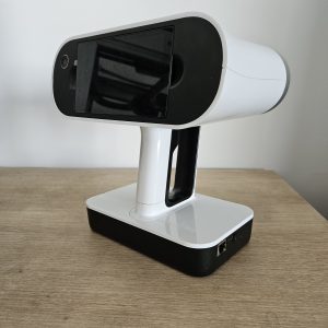
Artec Leo 3D Scanner For Sale
- Original price was: $26.430.$12.799Current price is: $12.799.
- Add to cart
-
- Sale!
- 3D Laser Scanner
Artec Eva Handheld 3D Scanner For Sale
- Original price was: $9.800.$5.100Current price is: $5.100.
- Add to cart
-

Reviews
There are no reviews yet.